


GPS-Equipment
Depending on your GPS-Equipment, there are different ways of transferring GPS-Points to your computer to use in gvSIG. Older Mapping-Handhelds simply save data as *.csv-files which can be imported into gvSIG. Newer Mapping-Handhelds provide special software that allows you to manage data more convenient. As gvSIG only allows importing *.csv- or *.dbf-files, you may use converting software as for example the "ITN-Converter" to convert e.g. Garmin-*.gpx-data. The installation-file of the "ITN-Converter" can be downloaded here. The programme converts several file types (e.g. *.gpx-file) to the required *.csv-file. |
|
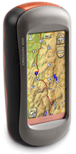 |
Mapping-HandheldsGarmin offers a variety of Mapping-Handhelds with different technical features starting from EUR 199.00. The handhelds of the recommended Oregon Series are equipped with TFT-Touchscreens and can be purchased with or without maps. They come with an USB-cable and can be connected to any computer for data exchange through the software “Map Source”. Furthermore, maps from Google Earth (and scanned maps) can be loaded
onto this device. Prices start from EUR 300.00 net. |
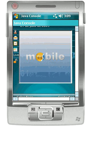 |
PDA with built-in GPSIt is also possible to take GPS-Points using PDAs with built-in GPS and Mapping-Software. A "gvSIG mobile" version is available and can be downloaded here. Recommended devices are the Trimble Juno ST (around EUR 700.00 plus accessories) and the Asus A696 (around EUR 400.00 plus accessories). Please note that a PDA is much more sensitive in a rough environment than an outdoor GPS unit. |
Extensions
For extraordinary geoprocessing tasks in gvSIG 1.10, the following extensions have been developed and are available for download here.  |
3D Extension |
|
This is an extension for visualisation and management of three-dimensional views in gvSIG. It allows the creation of 3D-, XYZ-projected- as well as planetary- Views. Local and remote data sources can be loaded as layers and displayed using most of the options available in 2D like transparency, labelling, legends, etc. |
 |
|
| |
Network Extension |
|
This extension combines a set of tools that solve typical network analysis problems like distance matrix, service area or closest facility. |
 |
|